-
Humanitaarteaduste ja kunstide valdkondHumanitaarteaduste ja kunstide valdkonna dekanaatJakobi 2, r 116-121 51005 Tartu linn, Tartu linn, Tartumaa EST0Ajaloo ja arheoloogia instituutJakobi 2 51005 Tartu linn, Tartu linn, Tartumaa EST0Eesti ja üldkeeleteaduse instituutJakobi 2, IV korrus 51005 Tartu linn, Tartu linn, Tartumaa EST0Filosoofia ja semiootika instituutJakobi 2, III korrus, ruumid 302-337 51005 Tartu linn, Tartu linn, Tartumaa EST0Kultuuriteaduste instituutÜlikooli 16 51003 Tartu linn, Tartu linn, Tartumaa EST0Maailma keelte ja kultuuride instituutLossi 3 51003 Tartu linn, Tartu linn, Tartumaa EST0UsuteaduskondÜlikooli 18 50090 Tartu linn, Tartu linn, Tartumaa EST0Viljandi kultuuriakadeemiaPosti 1 71004 Viljandi linn, Viljandimaa EST0Humanitaarteaduste ja kunstide valdkonna emeriitprofessorid0Humanitaarteaduste ja kunstide valdkonna emeriitdotsendid0Sotsiaalteaduste valdkondSotsiaalteaduste valdkonna dekanaatLossi 36 51003 Tartu linn, Tartu linn, Tartumaa EST0Haridusteaduste instituutJakobi 5 51005 Tartu linn, Tartu linn, Tartumaa EST0Johan Skytte poliitikauuringute instituutLossi 36, ruum 301 51003 Tartu linn, Tartu linn, Tartumaa EST0MajandusteaduskondNarva mnt 18 51009 Tartu linn, Tartu linn, Tartumaa EST0Psühholoogia instituutNäituse 2 50409 Tartu linn, Tartu linn, Tartumaa EST0ÕigusteaduskondNäituse 20 - 324 50409 Tartu linn, Tartu linn, Tartumaa EST0Ühiskonnateaduste instituutLossi 36 51003 Tartu linn, Tartu linn, Tartumaa EST0Narva kolledžRaekoja plats 2 20307 Narva linn, Ida-Virumaa EST0Pärnu kolledžRingi 35 80012 Pärnu linn, Pärnu linn, Pärnumaa EST0Sotsiaalteaduste valdkonna emeriitprofessorid0Sotsiaalteaduste valdkonna emeriitdotsendid0Meditsiiniteaduste valdkondMeditsiiniteaduste valdkonna dekanaatRavila 19 50411 Tartu linn, Tartu linn, Tartumaa ESTBio- ja siirdemeditsiini instituutBiomeedikum, Ravila 19 50411 Tartu linn, Tartu linn, Tartumaa ESTFarmaatsia instituutNooruse 1 50411 Tartu linn, Tartu linn, Tartumaa ESTHambaarstiteaduse instituutL. Puusepa 1a 50406 Tartu linn, Tartu linn, Tartumaa ESTKliinilise meditsiini instituutL. Puusepa 8 50406 Tartu linn, Tartu linn, Tartumaa ESTPeremeditsiini ja rahvatervishoiu instituutRavila 19 50411 Tartu linn, Tartu linn, Tartumaa ESTSporditeaduste ja füsioteraapia instituutUjula 4 51008 Tartu linn, Tartu linn, Tartumaa ESTMeditsiiniteaduste valdkonna emeriitprofessorid0Meditsiiniteaduste valdkonna emeriitdotsendid0Loodus- ja täppisteaduste valdkondLoodus- ja täppisteaduste valdkonna dekanaatVanemuise 46 - 208 51003 Tartu linn, Tartu linn, Tartumaa ESTArvutiteaduse instituutNarva mnt 18 51009 Tartu linn, Tartu linn, Tartumaa ESTGenoomika instituutRiia 23b/2 51010 Tartu linn, Tartu linn, Tartumaa ESTEesti mereinstituutMäealuse 14 12618 Tallinn, Harjumaa EST0Füüsika instituutKeemia instituutRavila 14a 50411 Tartu linn, Tartu linn, Tartumaa EST0Matemaatika ja statistika instituutNarva mnt 18 51009 Tartu linn, Tartu linn, Tartumaa EST0Molekulaar- ja rakubioloogia instituutRiia 23, 23b - 134 51010 Tartu linn, Tartu linn, Tartumaa ESTTartu observatooriumObservatooriumi 1 61602 Tõravere alevik, Nõo vald, Tartumaa EST0TehnoloogiainstituutNooruse 1 50411 Tartu linn, Tartu linn, Tartumaa ESTÖkoloogia ja maateaduste instituutJ. Liivi tn 2 50409 Tartu linn, Tartu linn, Tartumaa ESTLoodus- ja täppisteaduste valdkonna emeriitprofessorid0Loodus- ja täppisteaduste valdkonna emeriitdotsendid0Bioinseneeria instituutNooruse 1 50411 Tartu linn, Tartu linn, Tartumaa ESTAkadeemilise sekretäri tegevusvaldkondPersonaliosakondUppsala 6, Lossi 36 51003 Tartu linn, Tartu linn, Tartumaa EST0Finantsjuhi tegevusvaldkondRahandusosakondJakobi 4 51005 Tartu linn, Tartu linn, Tartumaa EST0Kantsleri tegevusvaldkondInfotehnoloogia osakondUppsala 10 51003 Tartu linn, Tartu linn, Tartumaa EST0KantseleiÜlikooli 17 (III korrus) 51005 Tartu linn, Tartu linn, Tartumaa EST0Kinnisvaraosakond0Turundus- ja kommunikatsiooniosakondÜlikooli 18, ruumid 102, 104, 209, 210 50090 Tartu linn, Tartu linn, Tartumaa EST0Arendusprorektori tegevusvaldkondEttevõtlus- ja innovatsioonikeskusNarva mnt 18 51009 Tartu linn, Tartu linn, Tartumaa EST0Loodusmuuseum ja botaanikaaedVanemuise 46 51003 Tartu linn, Tartu linn, Tartumaa EST0Rahvusvahelise koostöö ja protokolli osakond0MuuseumLossi 25 51003 Tartu linn, Tartu linn, Tartumaa EST0Rektori tegevusvaldkondRektoraadi bürooÜlikooli 18 50090 Tartu linn, Tartu linn, Tartumaa ESTSiseauditi bürooÕppeprorektori tegevusvaldkondÕppeosakond0TeaduskoolUppsala 10 51003 Tartu linn, Tartu linn, Tartumaa EST0Üliõpilaskonna bürooÜlikooli 18b 51005 Tartu linn, Tartu linn, Tartumaa EST0Õppimis- ja õpetamiskeskusLossi 36-401 51003 Tartu linn, Tartu linn, Tartumaa ESTTeadusprorektori tegevusvaldkondTartu Ülikooli raamatukoguW. Struve 1 50091 Tartu linn, Tartu linn, Tartumaa EST0GrandikeskusRaekoja plats 9, III korrus 51004 Tartu linn, Tartu linn, Tartumaa EST
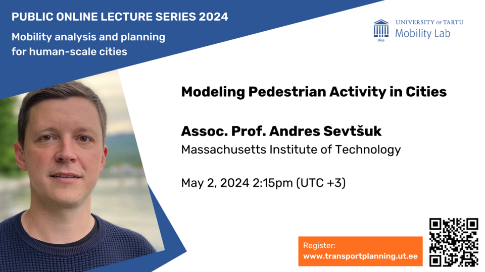
Public online lecture “Modeling Pedestrian Activity in Cities”

The lecture series “Mobility analysis and planning for human-scale cities“ arranged by the Mobility Lab, University of Tartu, features experts and leading scholars in the field of mobility and transport from Estonia and beyond. The lecture series seeks to answer the question of how to promote human-scale, sustainable, and just cities through mobility analysis and transport planning.
To listen to the lecture, register here
The fourth lecture of our series is a lecture, “Modeling Pedestrian Activity in Cities”, by Assoc. Prof. Andres Sevtšuk (Massachusetts Institute of Technology).
Andres Sevtsuk is Head of the City Design and Development Group and the Charles and Ann Spaulding Career Development Associate Professor of Urban Science and Planning at the Department of Urban Studies and Planning, where he also leads the City Form Lab. His research focuses on public qualities of cities, and on making urban environments more walkable, sustainable and equitable, bridging the fields of urban design, spatial analytics and mobility research. Andres is the author of the Urban Network Analysis toolbox and has published 2 books. Andres has collaborated with a number of city governments, international organizations, planning practices and developers on urban designs, plans and policies in both developed and rapidly developing urban environments from across the globe. He has led various international research projects, published in planning, transportation and urban design journals, and received numerous awards for his work. He holds a PhD from the Department of Urban Studies and Planning and an SMArchs in Architecture and Urbanism from MIT.
As city governments continue to promote active mobility to reduce carbon emissions associated with the transportation sector, data and models for representing foot-traffic distribution are needed. We present a first city-wide pedestrian network dataset for all of NYC and use it to construct a model of pedestrian flows between different land use pairs to describe both the distribution of specific trip types, and the combined foot-traffic volumes on all segments in New York City for AM, lunch and PM peak periods. We calibrate the model with observed 2018-2019 pedestrian counts collected from over a thousand locations on weekdays and over 450 locations on weekends. Our model explains pedestrian volumes at counted locations with over 90% accuracy and extends foot-traffic estimates to all pedestrian segments in the city. Estimated pedestrian volumes can informing public investments into the pedestrian realm and constitute a denominator for pedestrian-related hazard data, such as automobile crashes.